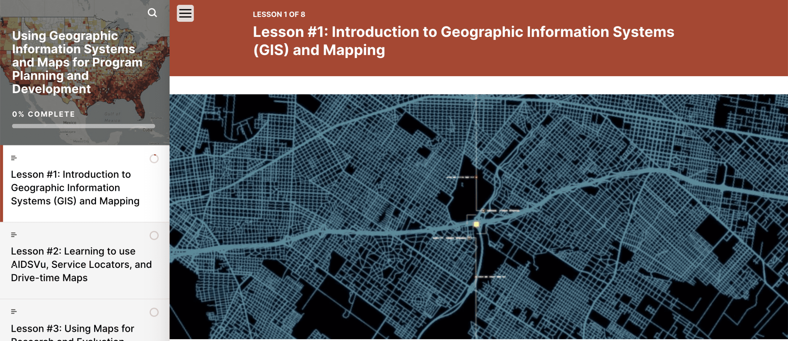
Using Geographic Information Systems and Maps for Program Planning and Development
Welcome to our Self-Paced GIS Training Course!
Click Here To Access Using Geographic Information Systems and Maps for Program Planning and Development
External Webpage Notice: This link will take you to an external webpage hosted by LearnUpon LMS. Please note that registration is required, and it’s completely free.
This course is designed to introduce you to Geographic Information Systems (GIS) and how to use maps effectively for program planning, service delivery, and fund development.
Each lesson, with video clips, knowledge checks, and map development activities, lets you practice working with tools like service locator maps and service desert maps, designed through the Gilead COMPASS Initiative® and available in AIDSVu.
Lessons take about 10-15 minutes to read, with map activities requiring up to an hour. You have three months to complete all training and mapping.
Complete all lessons and activities to receive a Certificate of Completion, with technical assistance available from our Emory COMPASS Coordinating Center team.
By the end, you’ll define GIS benefits, grasp mapping’s purpose, and use AIDSVu maps to identify service deserts and more
This training is made possible by the Gilead COMPASS Initiative® and collaborators PRISM Health, Emory Centers for Public Health Training and Technical Assistance, and AIDSVu at Emory University, supported by Gilead Sciences, Inc.
©2026 Emory University, Inc. All rights reserved.