Maps & Infographics
Need to find a local resource? Searching for the drive time to receive care and services? Here you will find resources in the South on HIV-related topics. Download maps and infographics created by the Gilead COMPASS Initiative® team to help enhance your presentation or project.
Service Desert Mapping
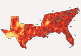
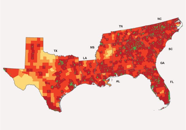
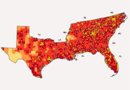
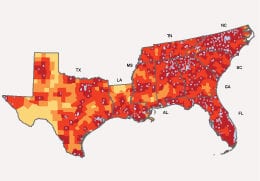
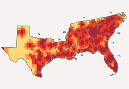
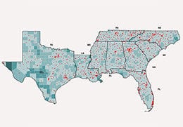
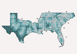
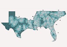
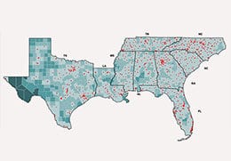
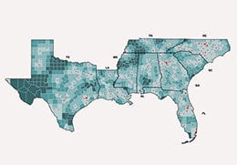
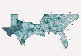
Under the Emory University Coordinating Center, the Geospatial Core analysis group has two major aims: (1) to leverage our team’s expertise in HIV data and mapping to identify existing service deserts and develop data-informed recommendations for areas in which new or expanded capacity will have the most impact on HIV prevention and care, and (2) to provide services to other COMPASS Coordinating Centers around service desert mapping, using data to inform programmatic targeting. Using multiple publicly available datasets, we conducted a geospatial analysis of access to mental health and substance abuse treatment providers to create map visualization to aid in program planning for HIV-related interventions.
The Geospatial Core developed a directory of organizations that are providing mental health and substance abuse services to people living with HIV (PLWH) or LGBT populations in the South. The goal of the directory is to make data regarding provision of these important services available and easily accessible in order to inform COMPASS decision-making, to empower our communities, and to assist individuals in seeking health services.
Data Methods
The COMPASS Initiative Geospatial Core at Emory University has merged data from the two publicly available Substance Abuse and Mental Health Services Administration (SAMHSA) and National Prevention Information Network (NPIN) databases to create a survey directory of organizations. All organizations included in the directory indicated that they serve PLWH or LGBT populations.
Maps
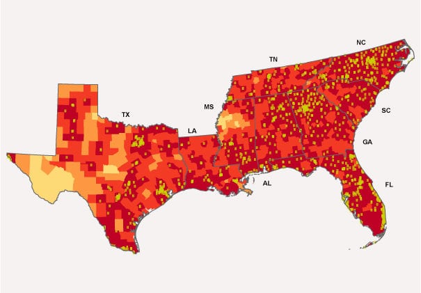
Driving Time to Harm Reduction Service Provider
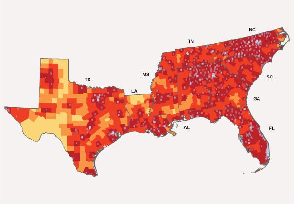
Driving Time to Overdose Prevention Service Provider
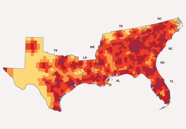
Driving Time to HIV Stigma Reduction Service Provider
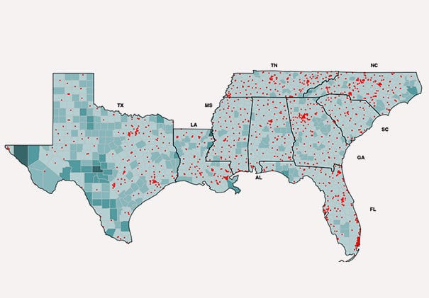
Driving Time to Mental Health Treatment Locations that Accept Medicaid
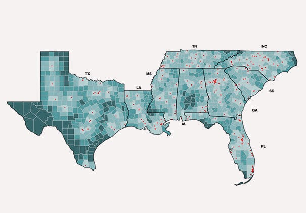
Driving time to Mental Health Treatment Locations that Accept Medicaid and Serve LGBT Clients
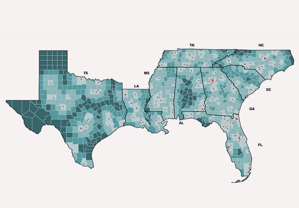
Driving Time to Mental Health Treatment Locations that Accept Medicaid and Serve People Living with HIV
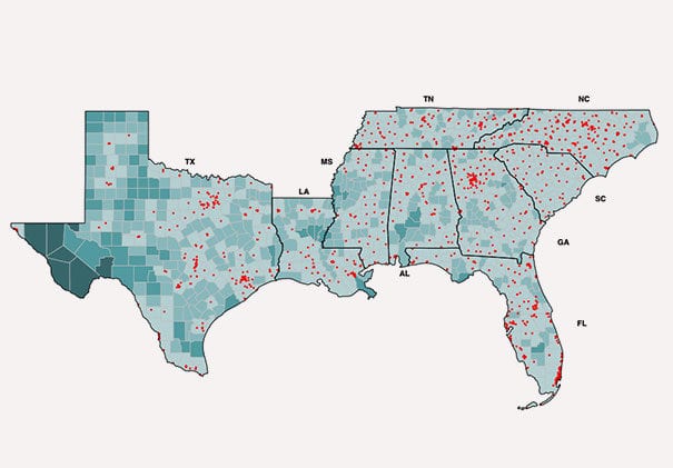
Driving Time to Substance Abuse Treatment Locations that Accept Medicaid
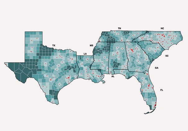
Driving Time to Substance Abuse Treatment Locations that Accept Medicaid and Serve LGBT Clients
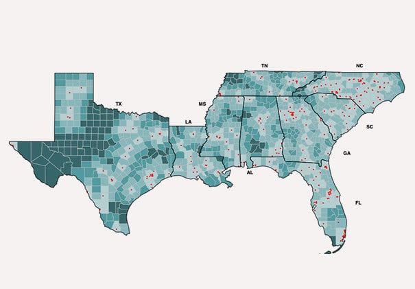
Driving Time to Substance Abuse Treatment Locations that Accept Medicaid and Serve People Living with HIV
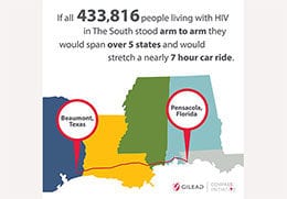
Infographics
©2025 Emory University, Inc. All rights reserved.

